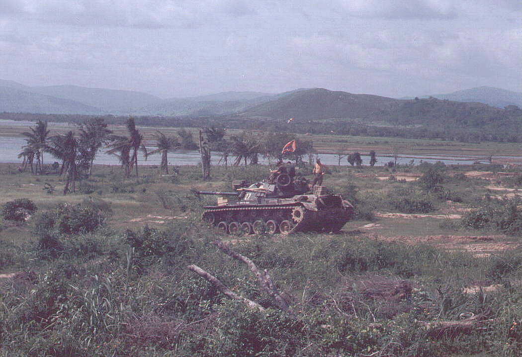
A "track" sporting a Rebel
flag in the AO south of Duc Pho, spring of 1968. Picture contributed
by Ed Hutcheson, 125th ATC.
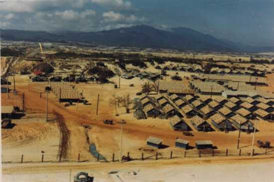
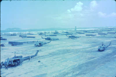
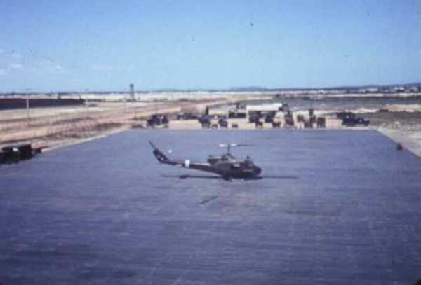
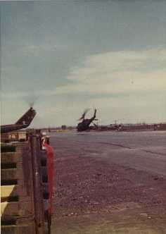
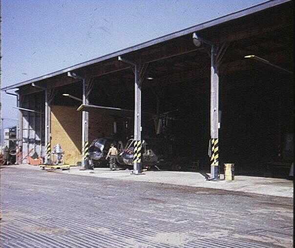
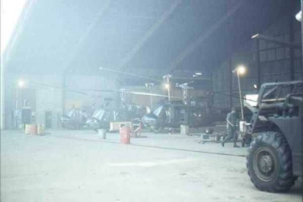
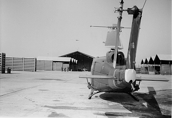
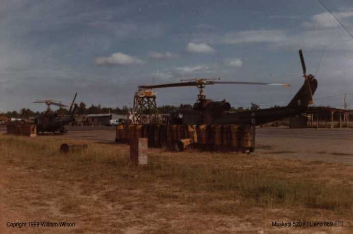
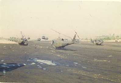
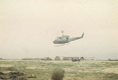
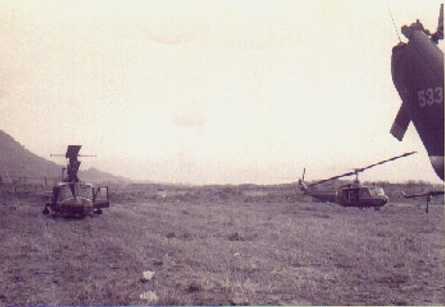
Musket gunships
on standby at Quang Ngai airfield. UH-1M 66-00520 FTL and UH-1M 66-15069
FTT. Watch out for Butterfly 03! 1971 picture contributed by Jolly
Wilson.
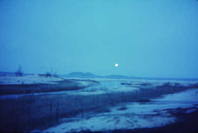
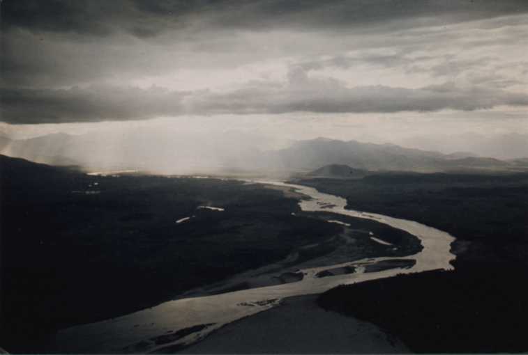
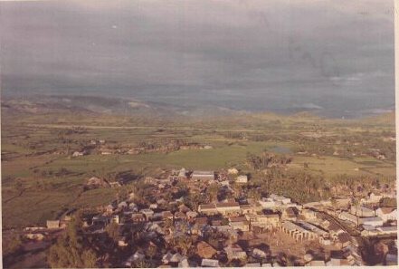
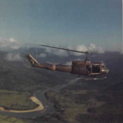
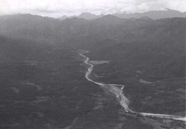
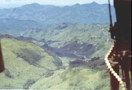
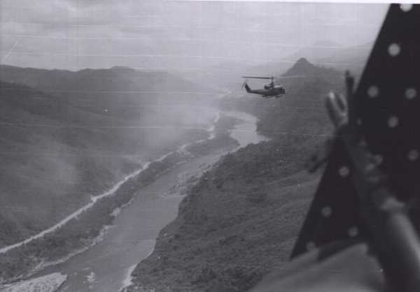
Beautiful
view of a river leading into the Annam mountains. Also a very typical
depiction of weather conditions as rain storms rolled towards the east across
the mountains. This appears to be a river valley south of Chu Lai, possibly
a region known as the Horseshoe. Picture contributed by Steve
Kerchanfaut.
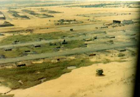
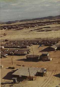
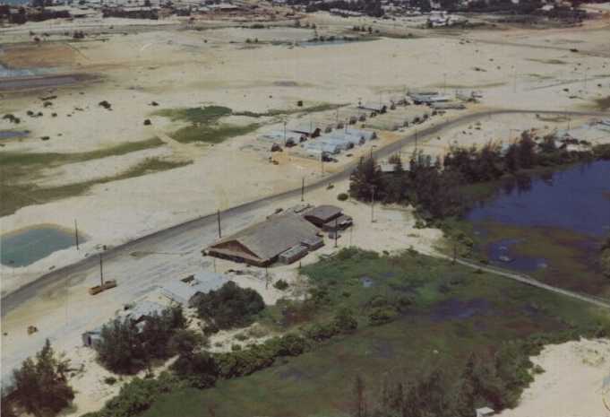
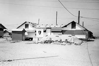
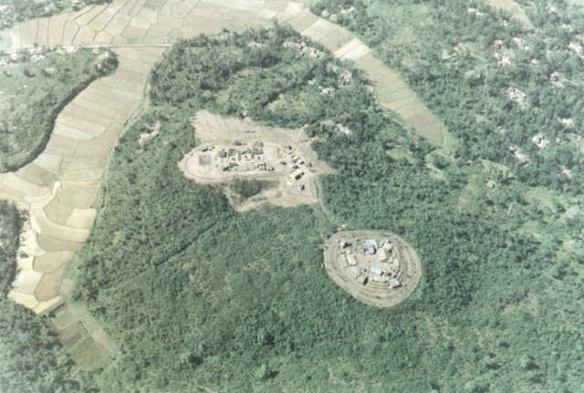
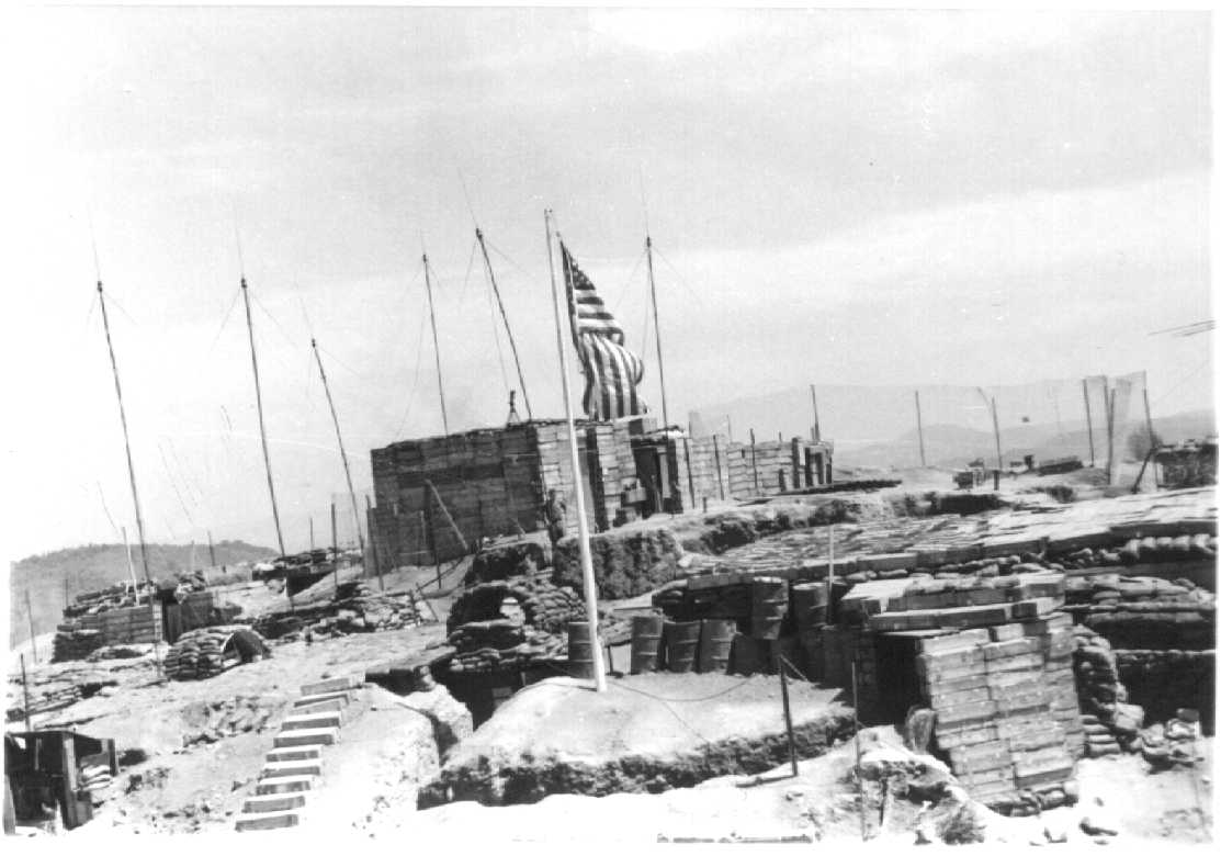
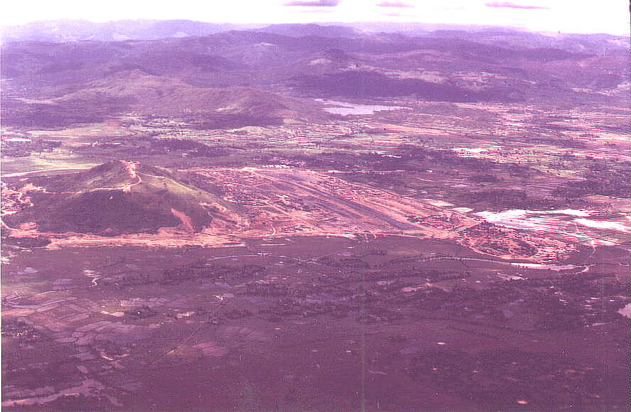
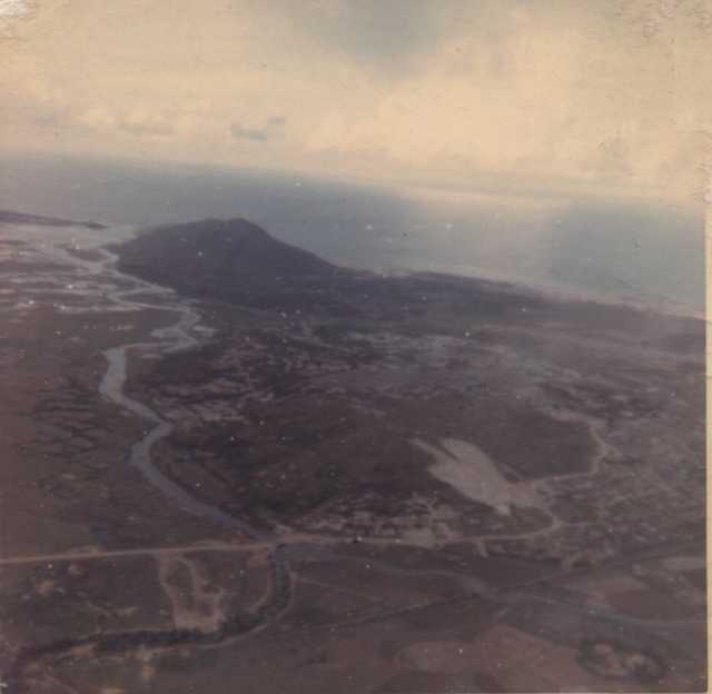
Aerial view of FSB Ky
Tra, home to the 5/46th Bn., 198th LIB in 1970-71. This fire base, northwest
of Chu Lai, was constructed and occupied earlier by ROK Marines. Like other
hill top bases constructed by ROK Marines, Ky Tra was surrounded by booby
traps. There was one safe trail down the hill to the village. The only other
safe way off the hill was by helicopter. Picture contributed by Wallace
Young.
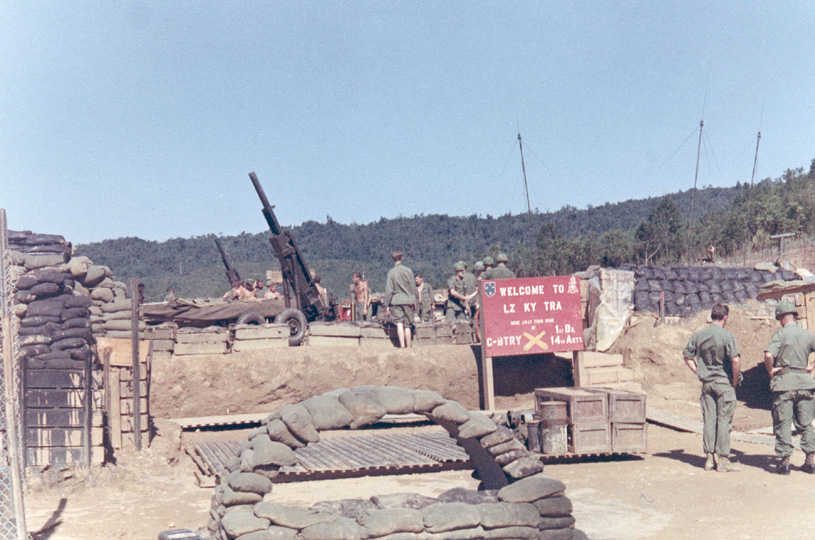
Ground view of the
M102-105mm howitzer position from the helipad on Ky Tra manned by C Battery,
1st Bn., 14th Arty. Picture probably taken during a visit by the 198th Brigade
Commander. Picture contributed by Wallace Young.
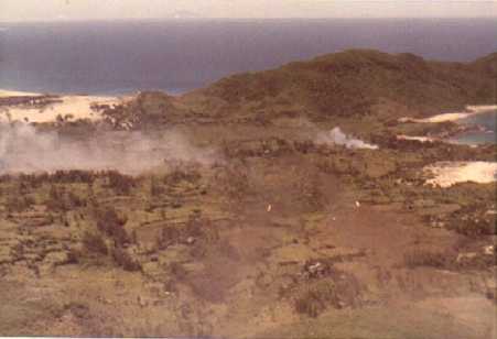
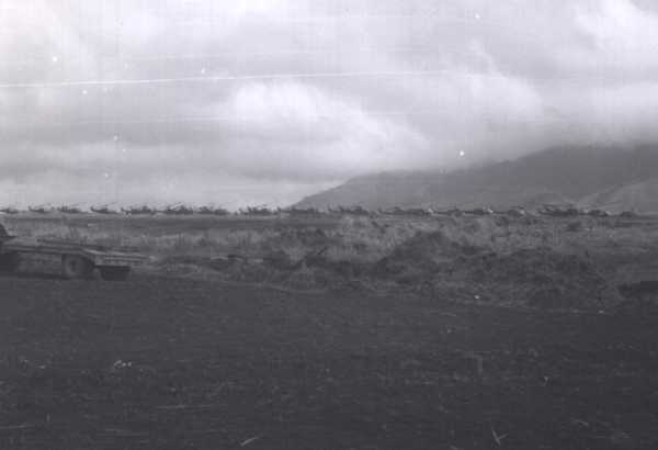
Practice rockets impacting in
the free fire zone south of Chu Lai on the northern tip of the Batangan
Penisula. "My view as a Musket (1 week) I don`t think I ever hit anything
except dirt!" Picture and info contributed by Wayne "Lightnin" Resemius.
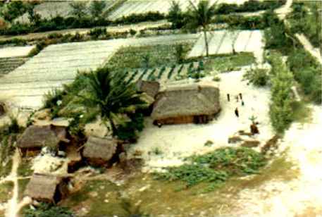
Typical small village
in the coastal region of the Americal AO. 1970-71 picture contributed
by Wayne "Lightnin" Resemius.
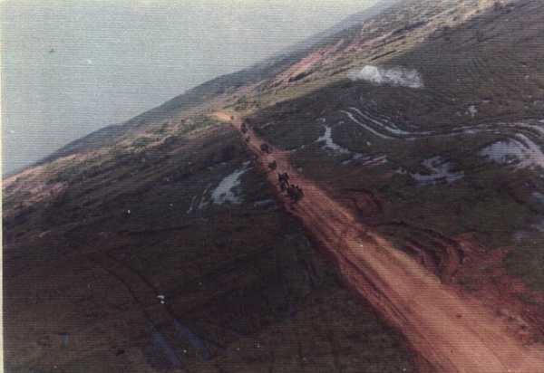
Nine kilometers from
Laos - Kham Duc 1970. Picture contributed by Murlen Richmond.
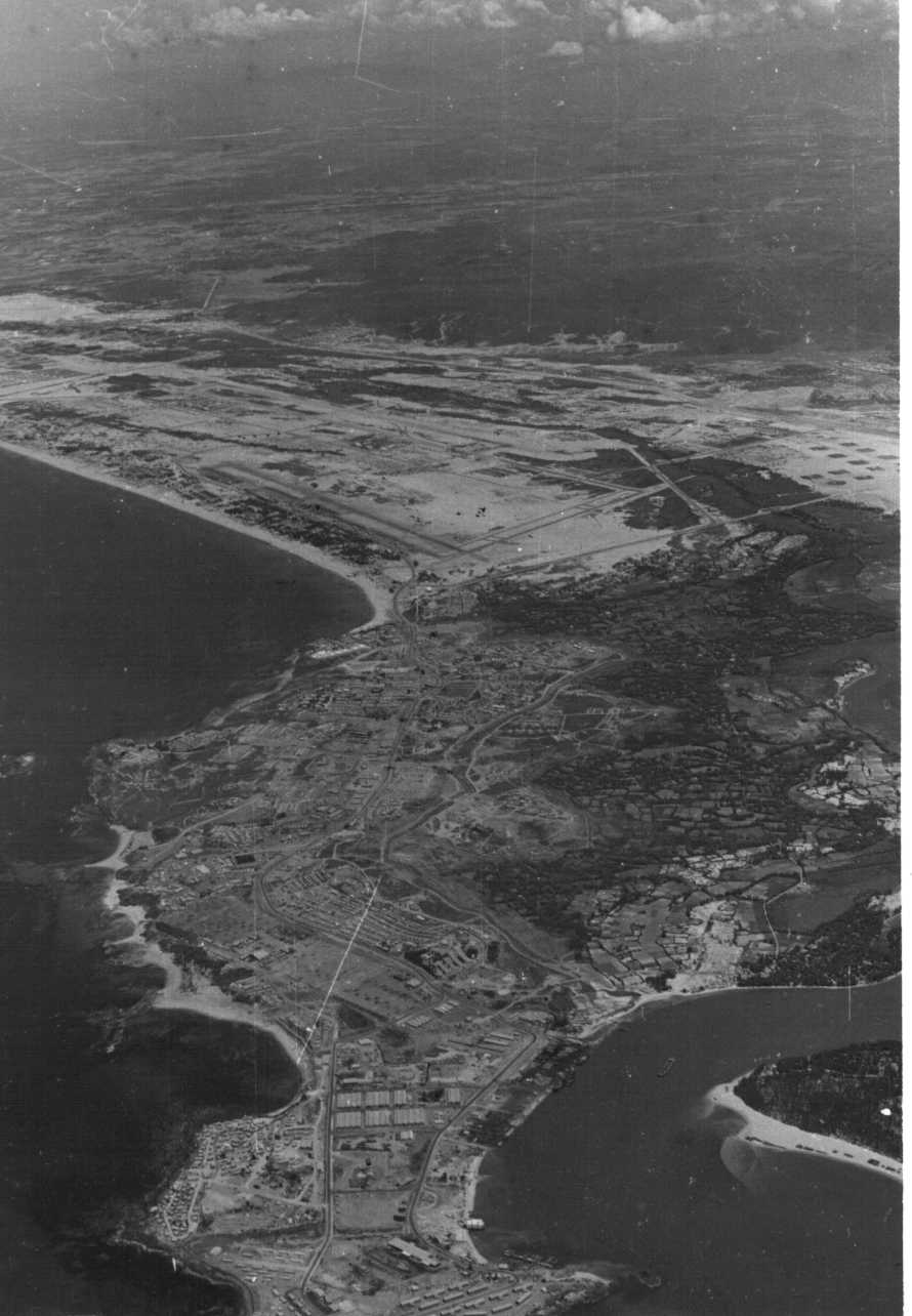
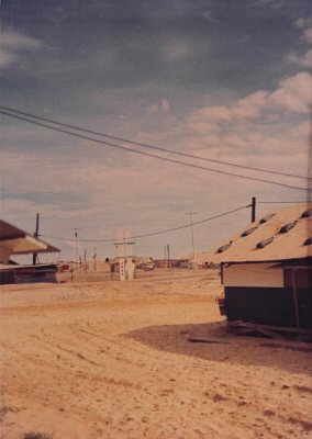
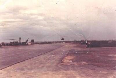
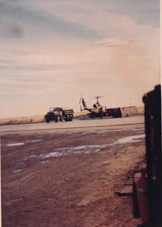
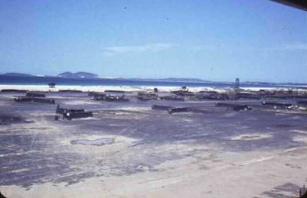
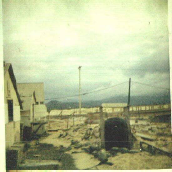
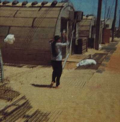
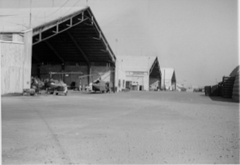
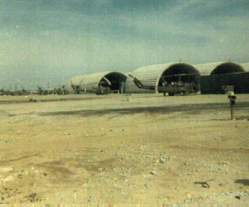
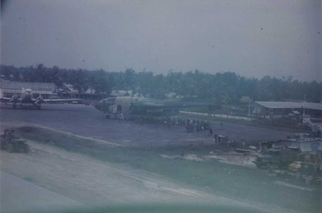
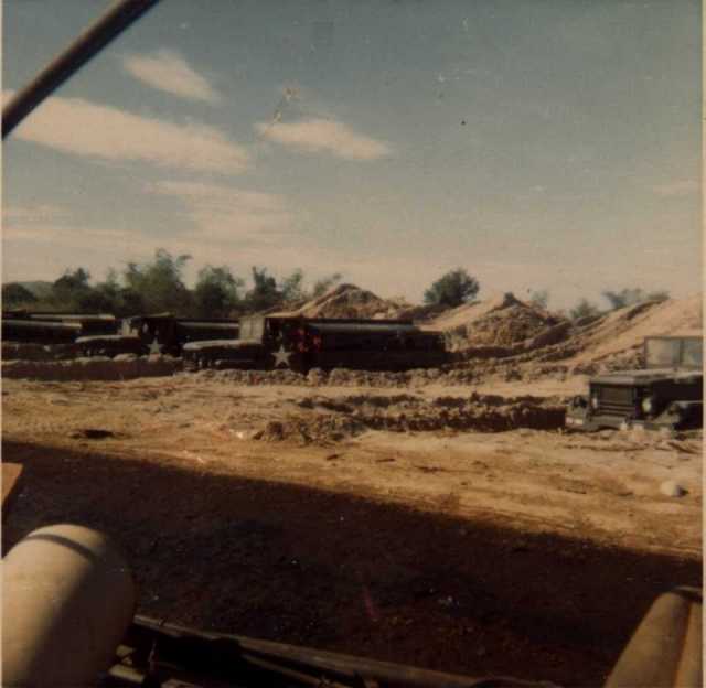
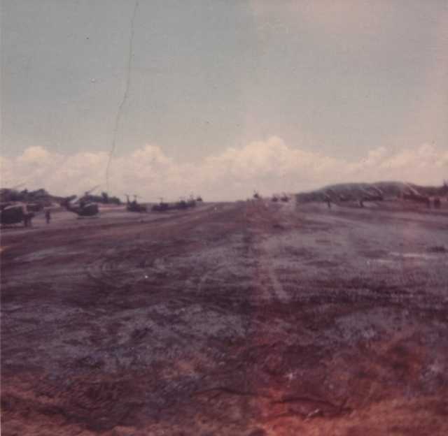
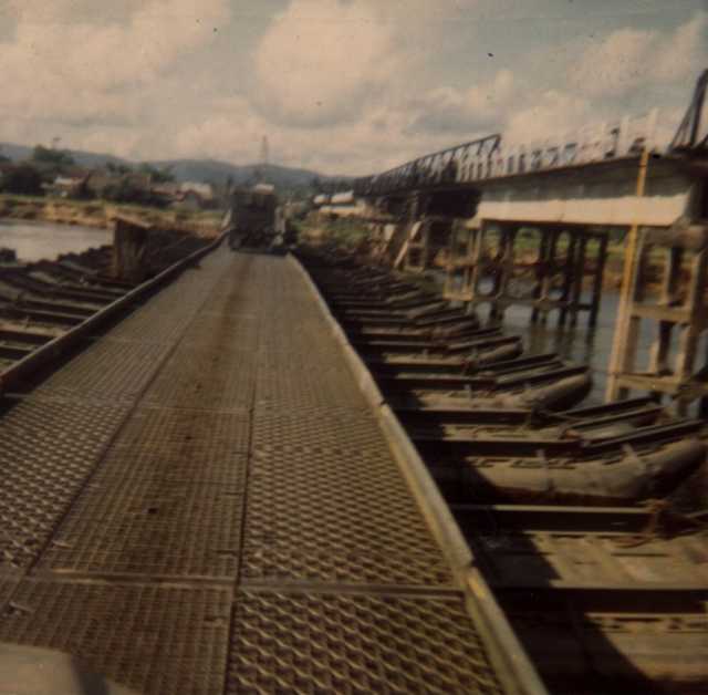
The ramp
at Quang Ngai airfield. Picture contributed by Tom Herrington.
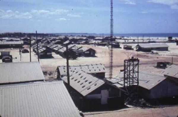
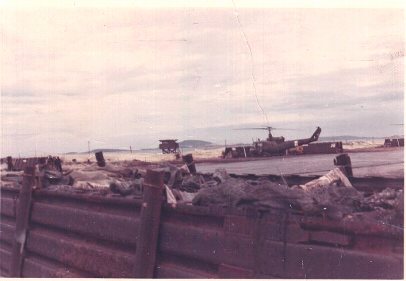
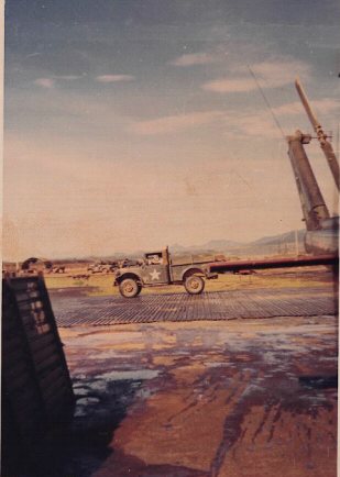
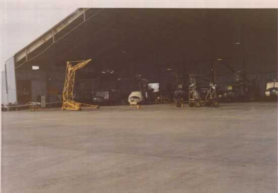
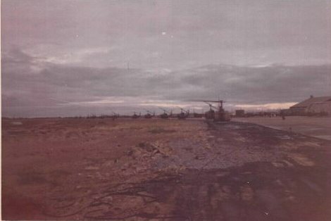
Departing the air field at Quang
Ngai, provincial headquarters. Quang Ngai was known for the hamburgers
and fries available near the MACV Tropo pad. Picture contributed by Rick
Phillips
The small
grey area near the center of this picture is believed to be the crash site
of UH-1D 65-10053. Mack Bargainnier and Max Mizejewski were injured in the
crash. The crash was a result of a tail rotor failure and possible enemy
fire. 1967 picture contributed by Hank Anthony.
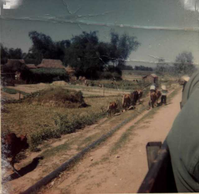
Vietnamese herding
cattle near a village. 1967 picture contributed by Hank Anthony.
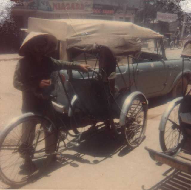
A cyclo in a
village. 1967 picture contributed by Hank Anthony.
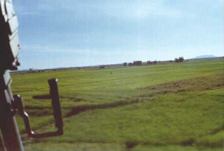
Flying LOW level
through the rice paddies. Not exactly knapp of the earth flying, this would
be better described as skimming the rice.1971 picture contributed by Bill
Church.
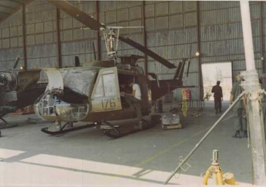
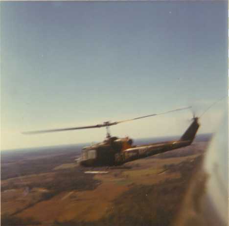
Photo taken by
Jerry Penny following a Musket gunship. 1969 picture contributed by Allen
Penny, Jr.
Over the shoulder
view of Marble Mountain which was located on the south side of DaNang.
1971 picture contributed by Bill Church.
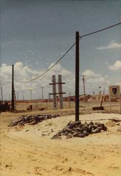
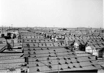
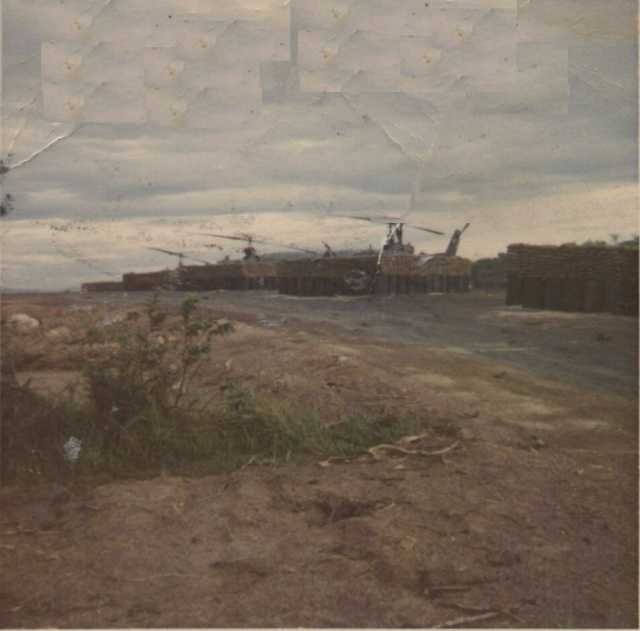
LZ Professional. Very
large (64Kb) file. Picture compliments of Leslie Hines, ADVA historian.
Low level *IFR
navigation. 1970-71 picture was contributed by Steve Clark. *I
Follow Roads.
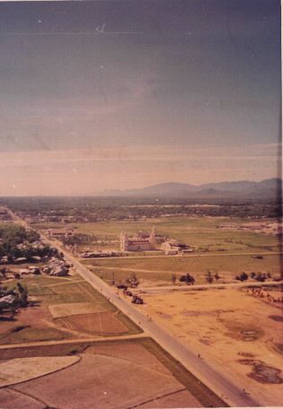
Highway 1 through Tam
Ky. 1970 picture contributed by Rick Phillips.
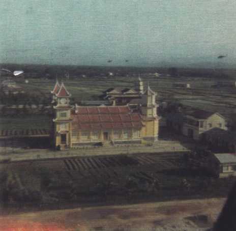
The Monastery at Tam
Ky. This is a closer view the same building visible in the picture of
Highway 1 through Tam Ky. It was always unusual to see a such a large structure
in the Americal AO. 1970-71 picture was contributed by Steve Clark.
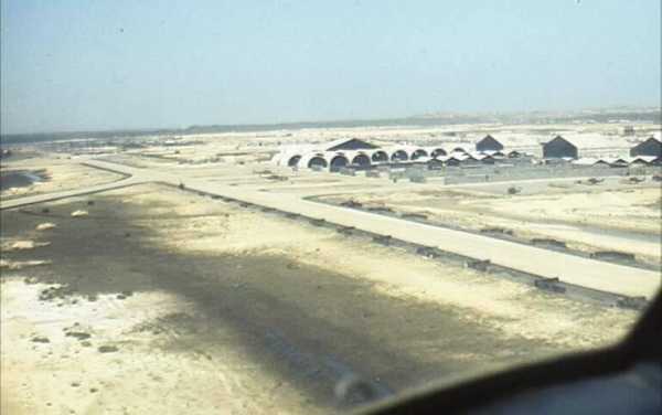
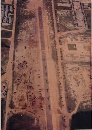
The Tam Ky Airstrip.
1970 picture contributed by Rick Phillips.
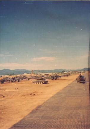
An armored unit parked
alongside the strip at Tam Ky. 1970. Picture contributed by Rick
Phillips.
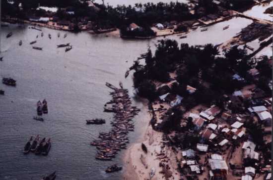
Sampans on the river near a
fishing village. maybe just north of Chu Lai? Picture contributed by Steve
Kerchenfaut.
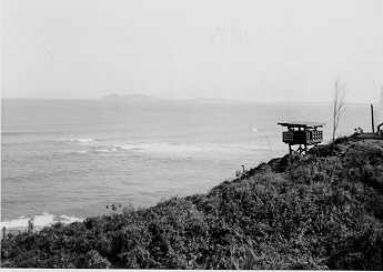
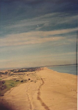
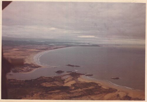
Looking north along
the beach just south of the perimeter at Chu Lai.1970. Picture contributed
by Rick Phillips.
This slick UH-IH 68-16536
appears to be near a bend on the Son Tra Bong just east of the valley and
the Tra Bong compound. 1970-71 picture was contributed by Steve Clark.
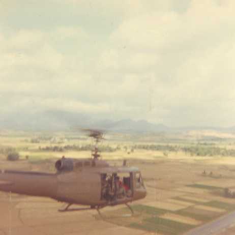
UH-1H 67-17239
flying low altitude heading north along Highway 1 just south of Chu Lai.
1969 picture contributed by Allen Penny, Jr.
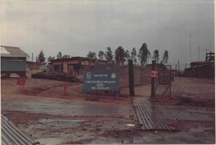
Fire Support Base Dottie.
Home of the 1/6 Battalion in 1970-71. H. Norman Swarzkopf served as CO of
this unit. Picture contributed by Rick Phillips.
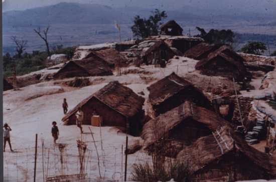
Village on a hilltop- Dug
in and fortified. Picture contributed by Steve Kerchenfaut
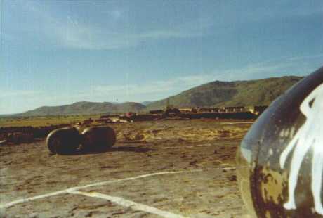
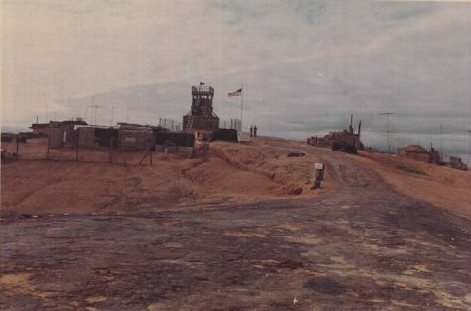
Fire Support Base Stinson,
formerly FSB Buff. The resupply pad. Home of the 1/52 Battalion in 1970-71.
Picture contributed by Rick Phillips.
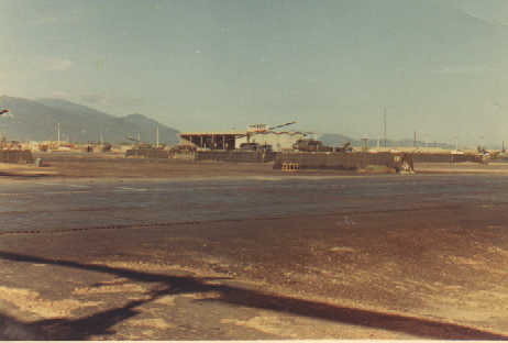
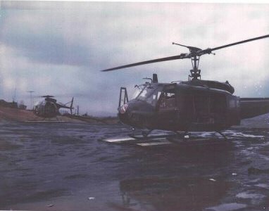
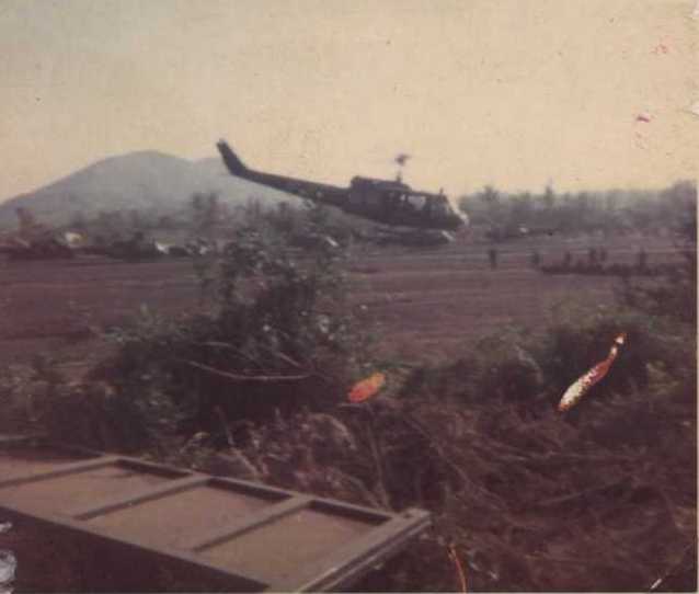
The
198th Bde. C&C aircraft UH-1H 69-15569 and LOH on the VIP pad at
FSB Stinson. A cargo door step was added to this bird after Col. Richardson
and some of his staff were injured by a mine in the 1/6 AO. Picture contributed
by Rick Phillips.
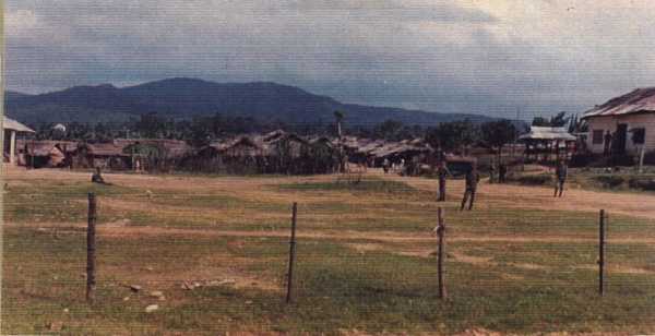
Happy Valley. It was
important to know where you were in this part of the AO. The NVA/VC made
this a very unhappy place for ARVN and U.S. forces. Picture contributed by
Owen "Butch" Brant.
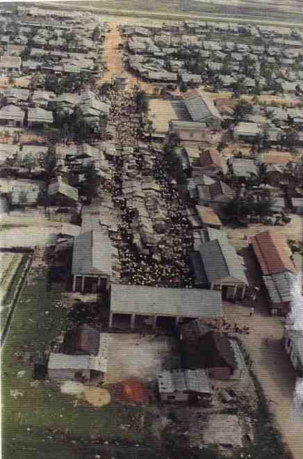
Crowd at the local South
Vietnamese village shopping mall. 1970-71 picture was contributed by
Steve Clark.
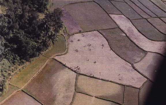
Rice paddy patterns-planting
rice. 1970-71 picture was contributed by Steve Clark.
Apparently an ARVN controlled
village. Any one who recognizes this village should send e-mail to
Carl Zipperer. 1970-71 picture was
contributed by Steve Clark.
Back to Top |